
Measuring in m360 images
Understand the unique properties of m360 images and how to take measurements

An m360 image consists of two 360° images captured from the same location. One image is captured at approximately eye level, while the second is captured approximately 2 metres from the floor. This provides you with an additional viewpoint that often reveals areas that would otherwise be obscured by equipment, structures, or other assets.
You know you're in an m360 image when you see the ^ icon in the Toolbar. Click on it to toggle between the upper and lower images.
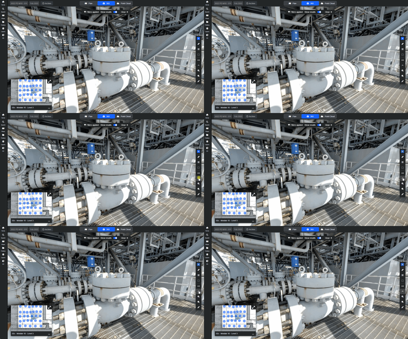
The known vertical separation between these two images enables R2S to calculate spatial information. By following a simple process to identify the same point in both images, you can measure objects and accurately position information within the visual model.
Measuring in m360 images
You can easily measure the distance between two points in an m360. The first step is to mark the two points you want to measure between in the lower image. The viewer automatically opens the upper image and you mark the same two points in that image.
Click through this interactive demo to see the process in action.
You can easily link tags and tasks to measurements, see the Linking Annotations to Tags and URLs guide for further information.
Remember: If you're having trouble using any tool or feature in R2S please contact our support team here.